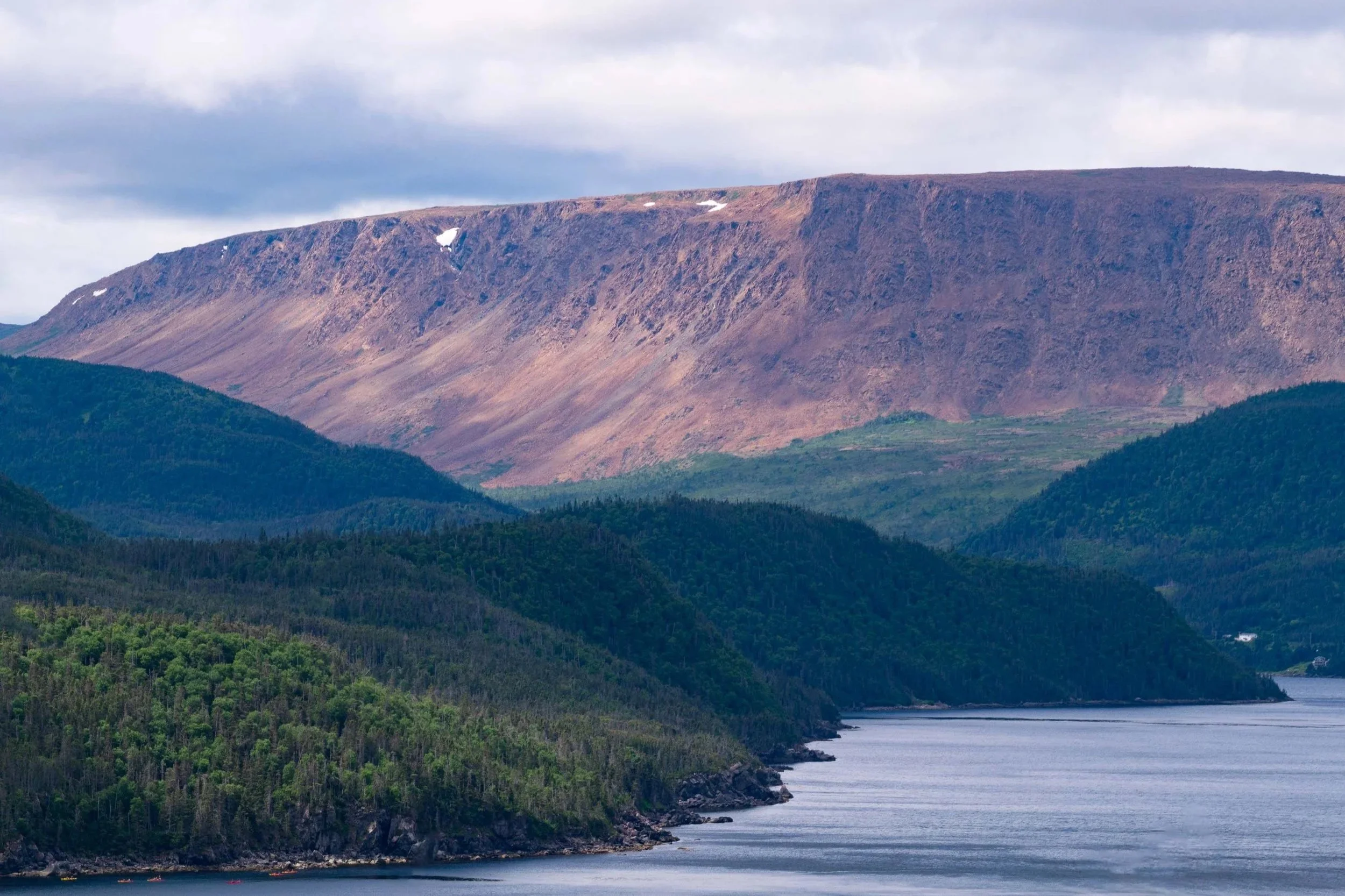
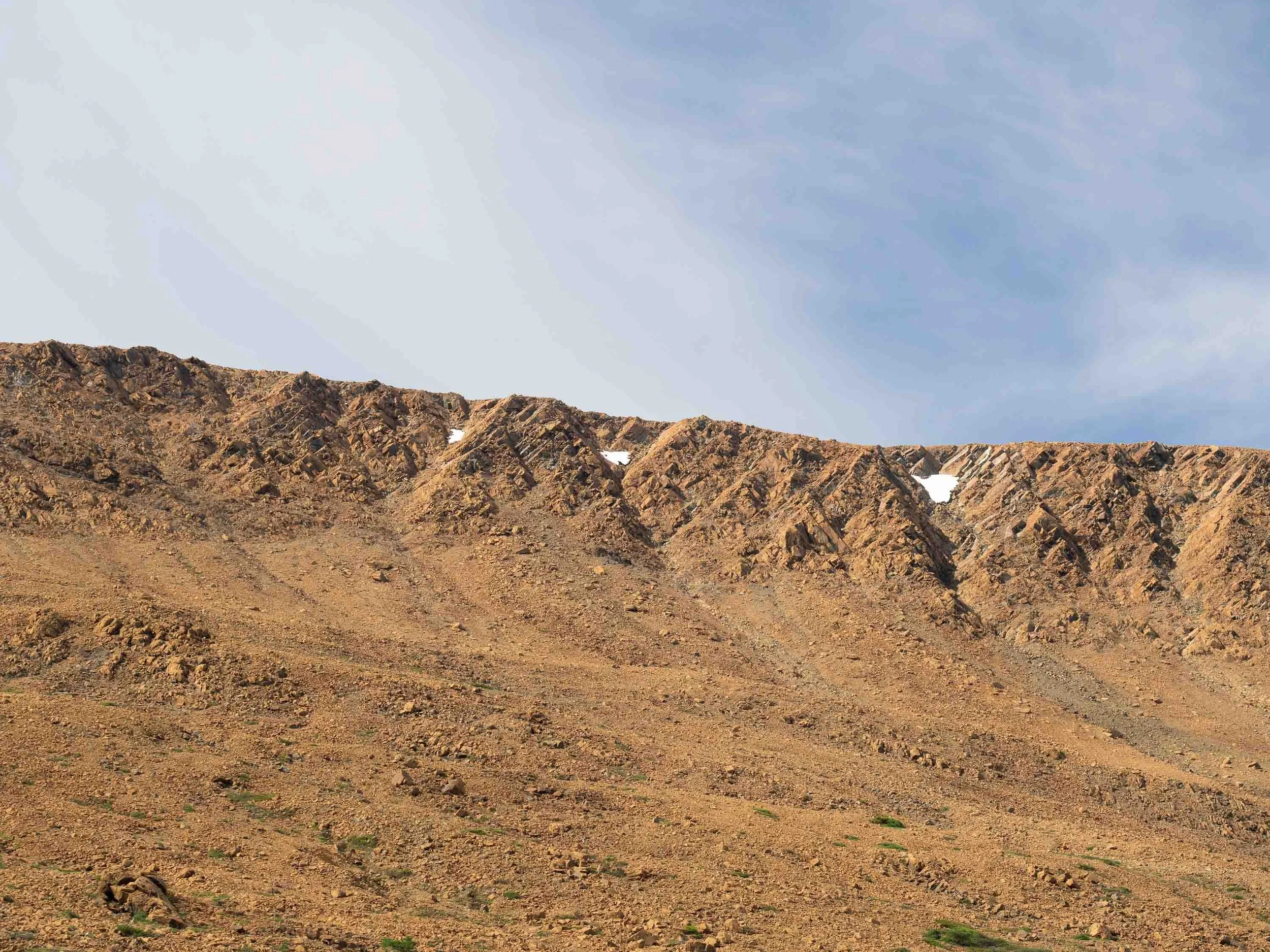
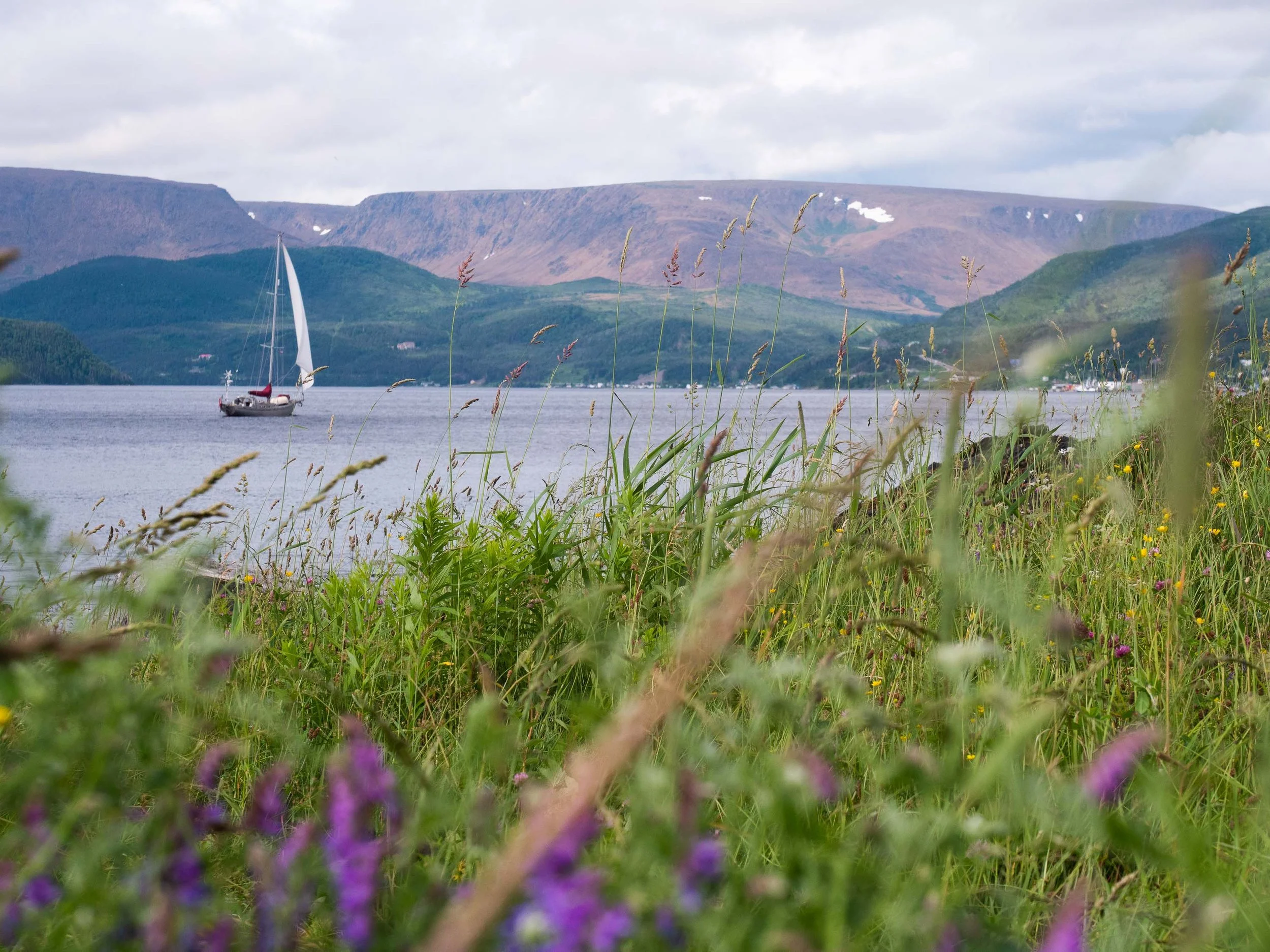
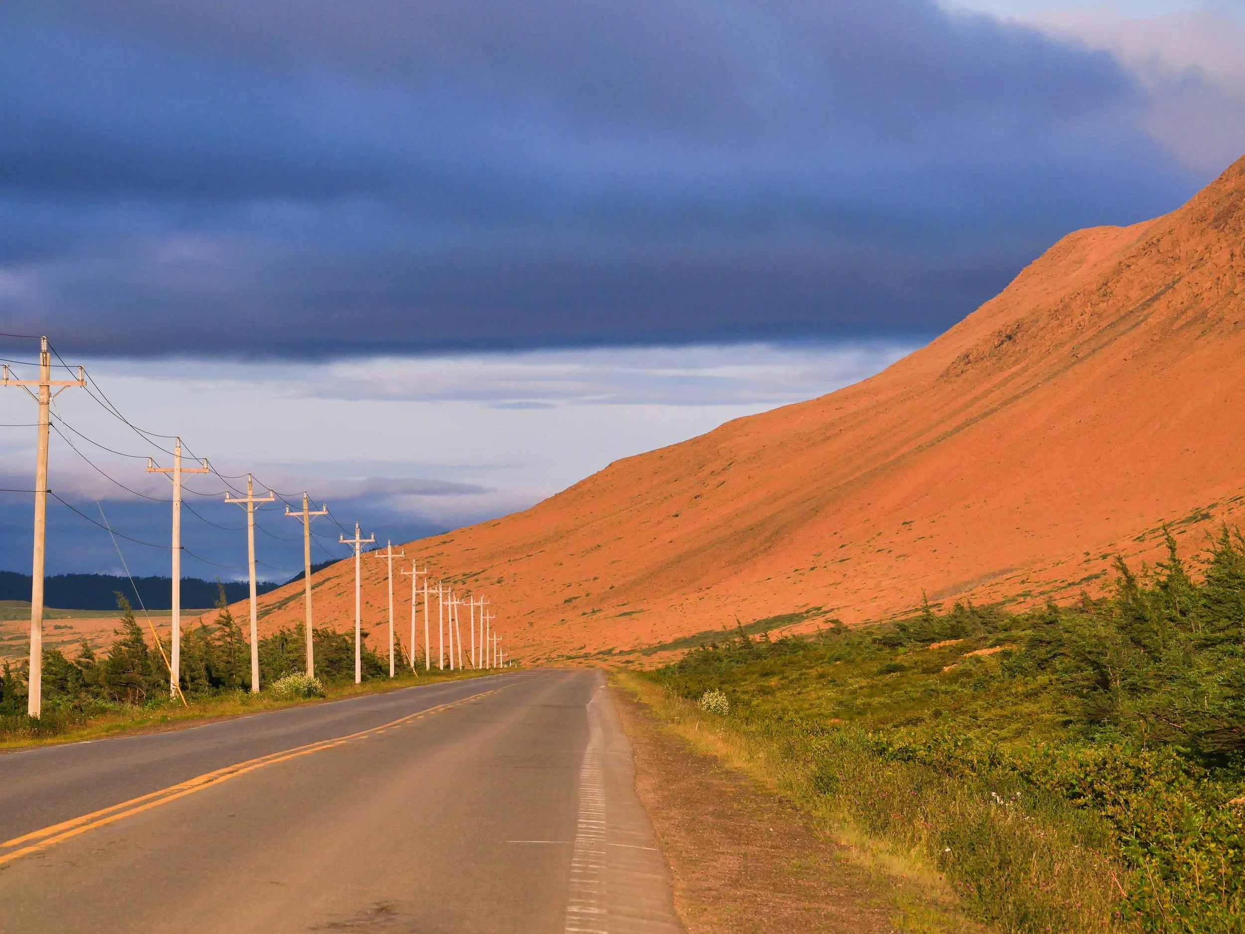
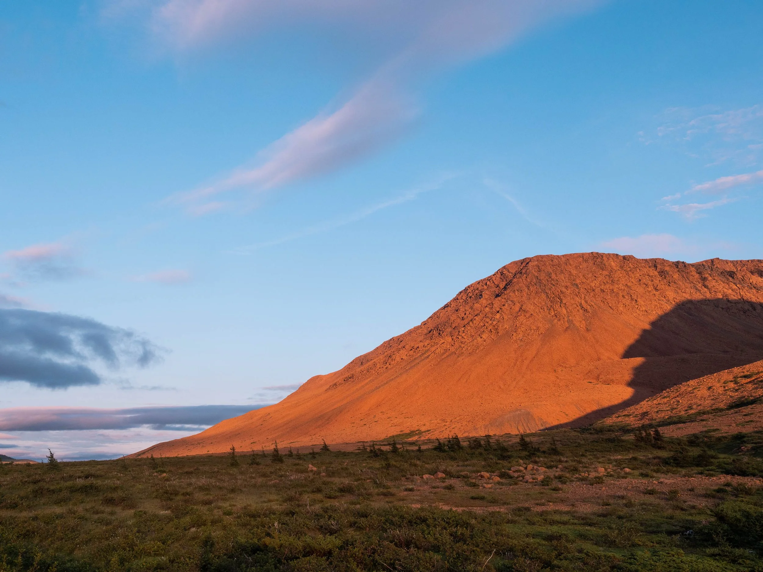
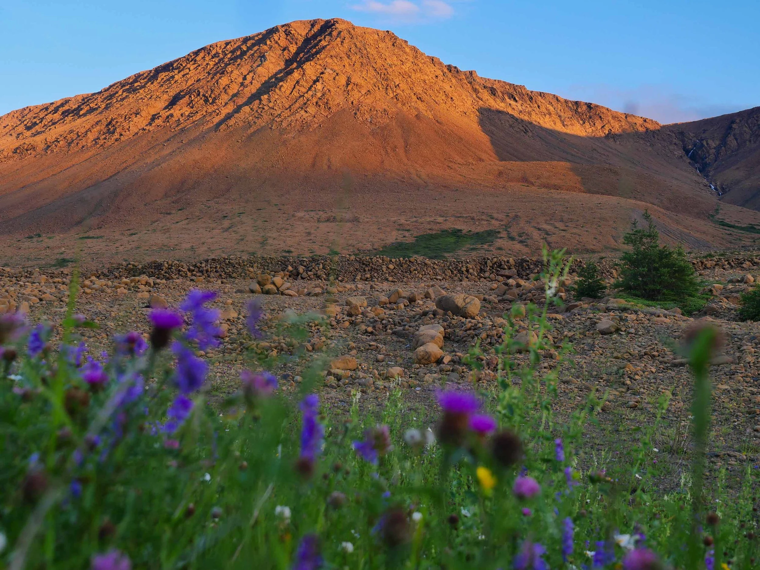
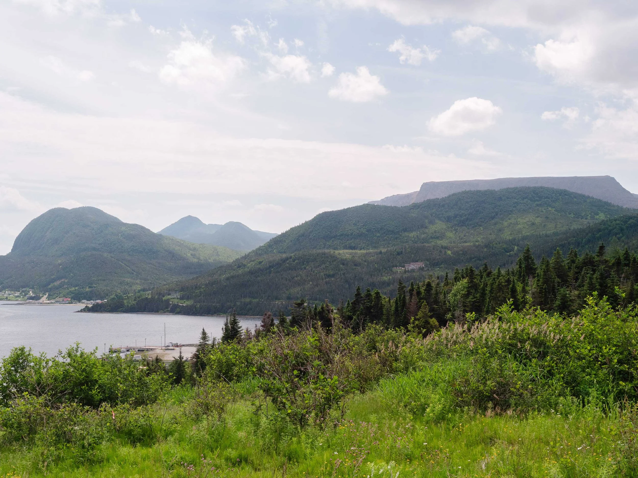
View of the Tablelands Ophiolite from Noris Point
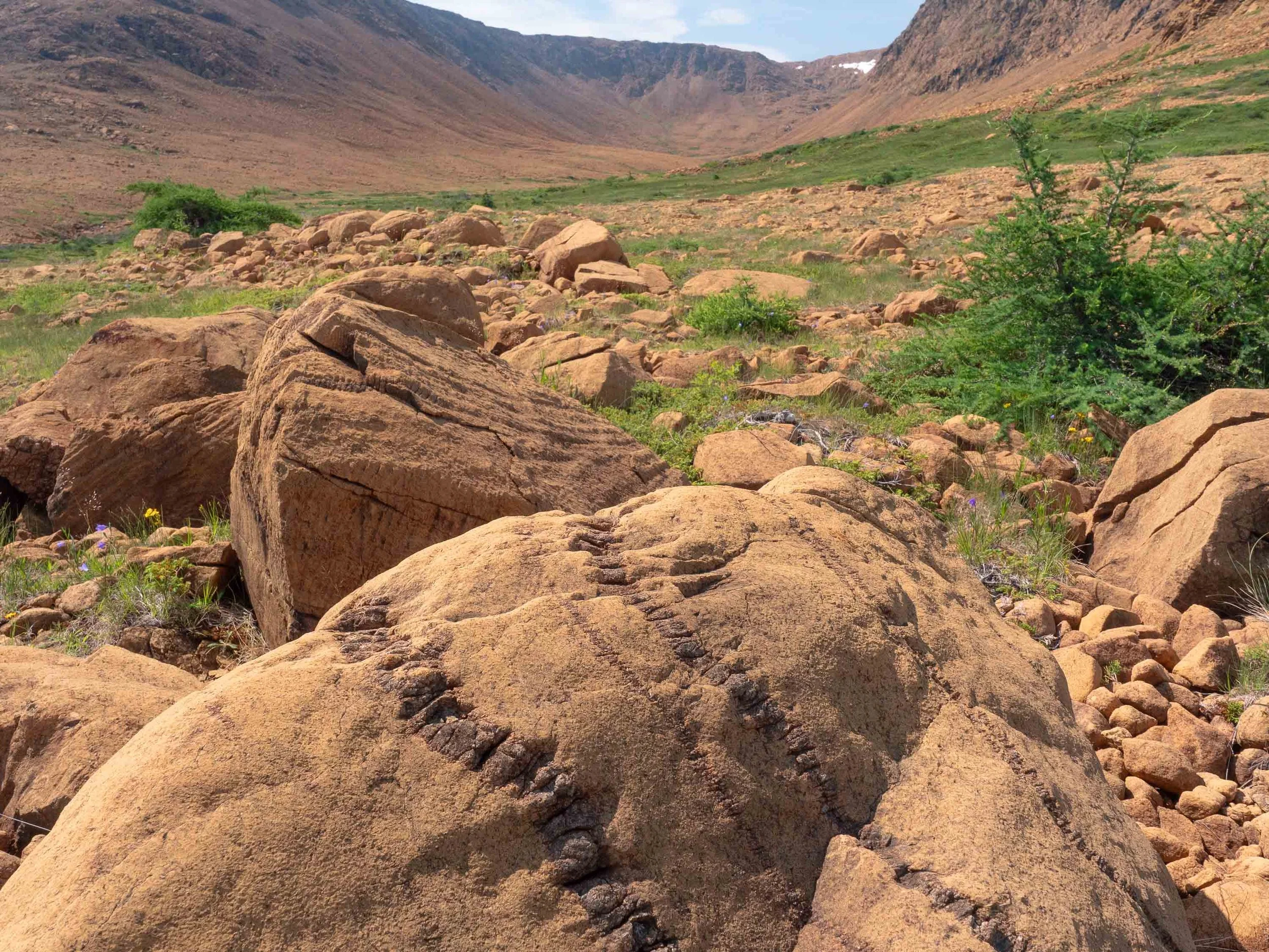
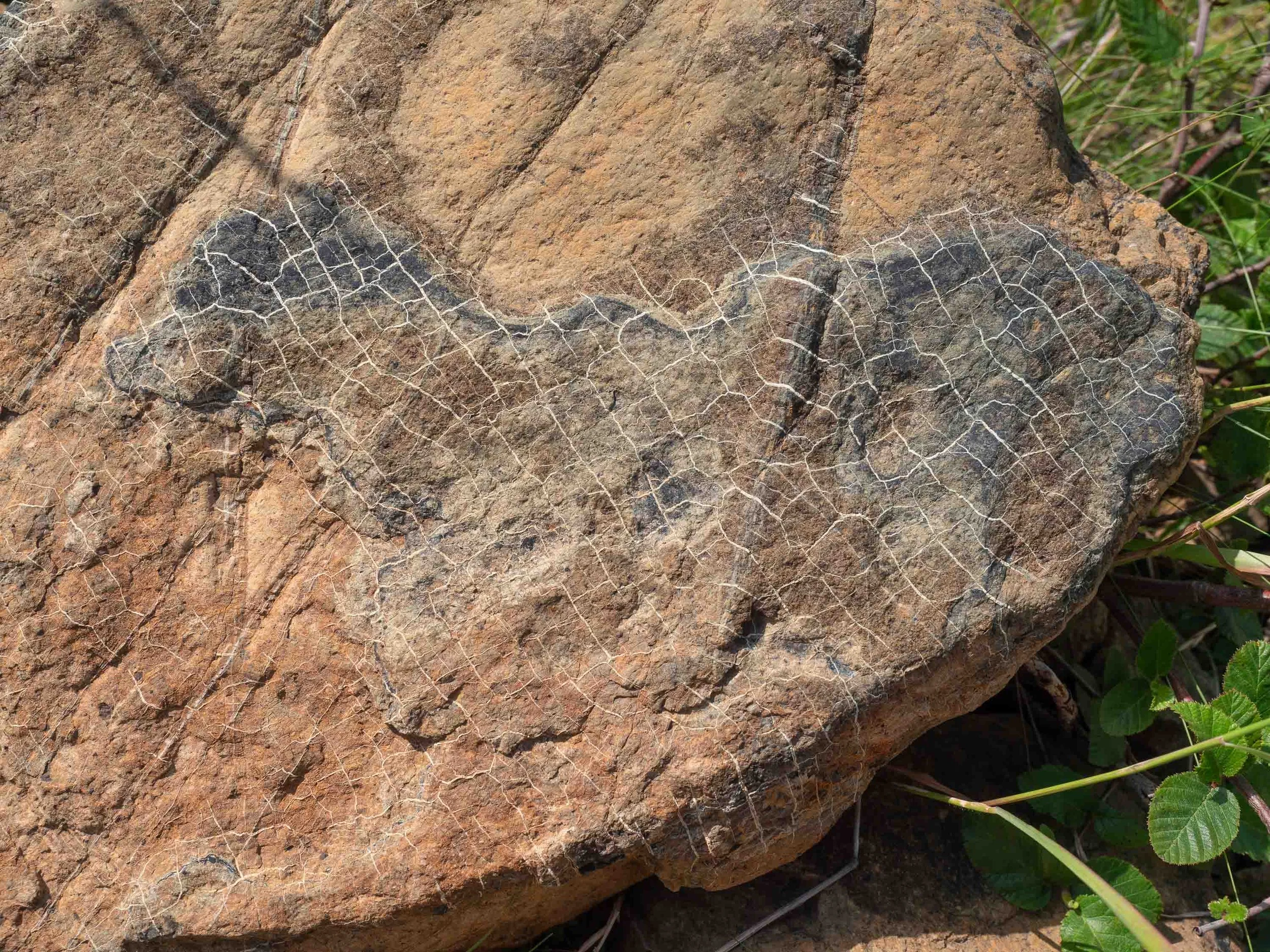
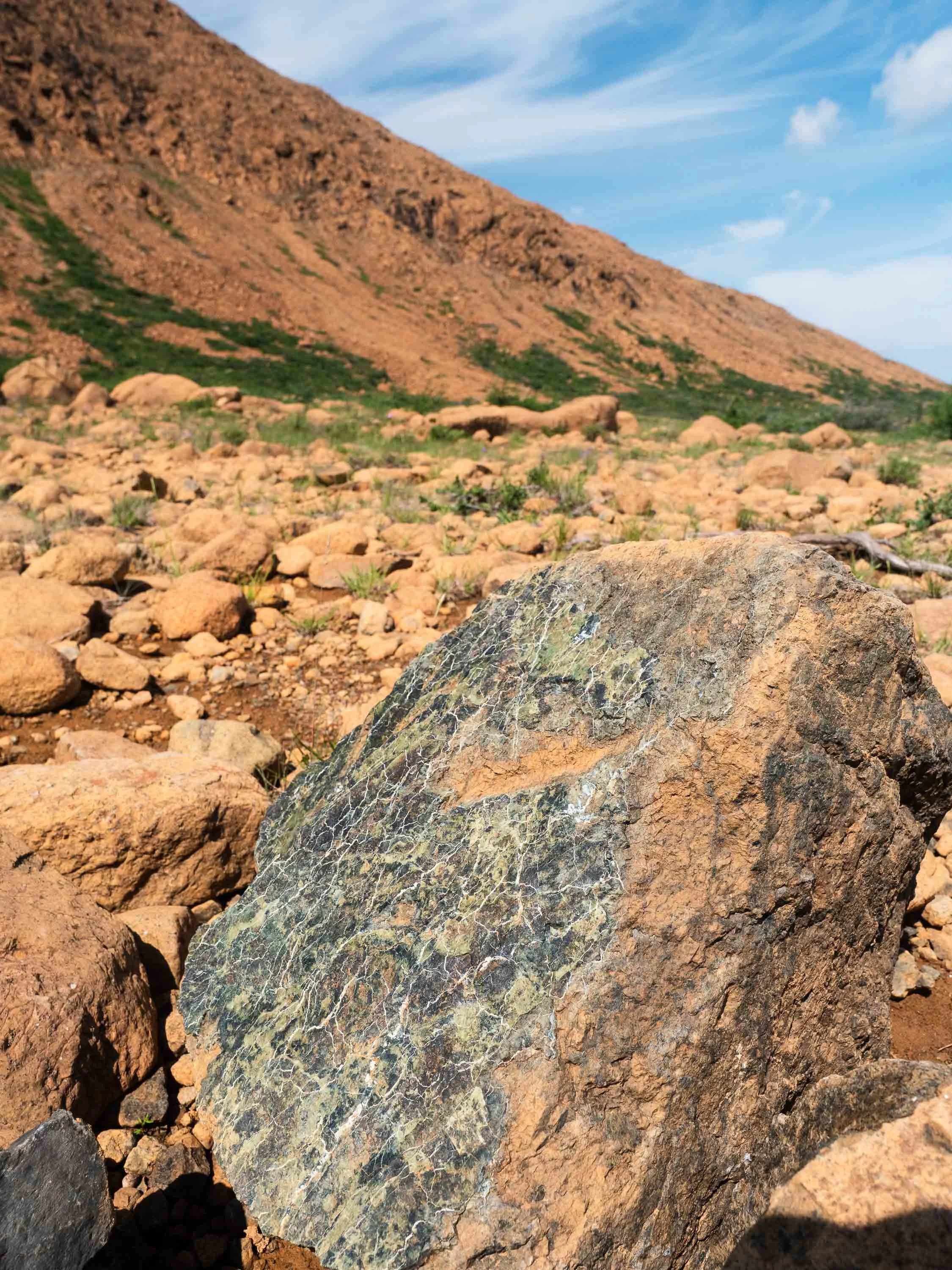
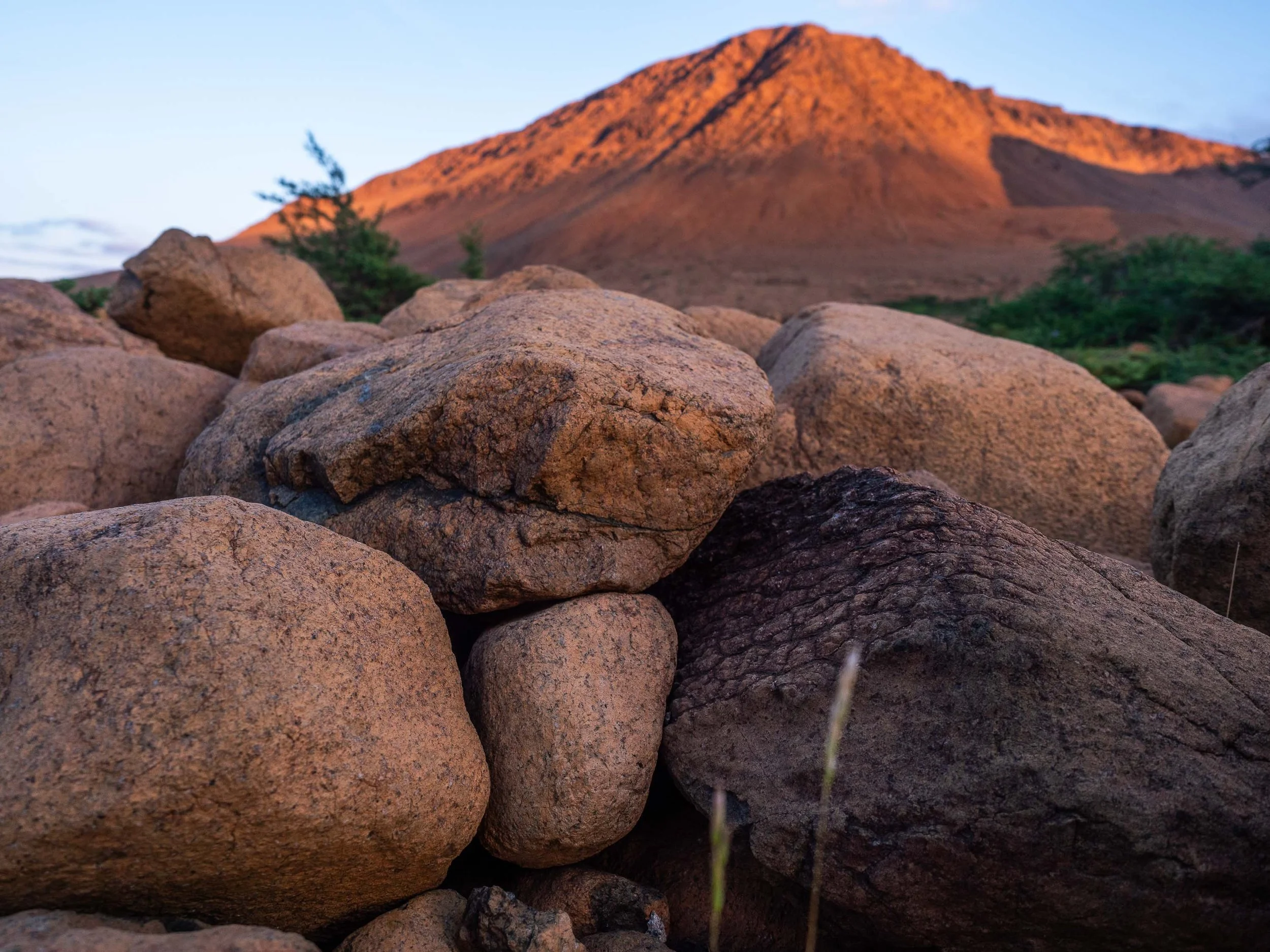
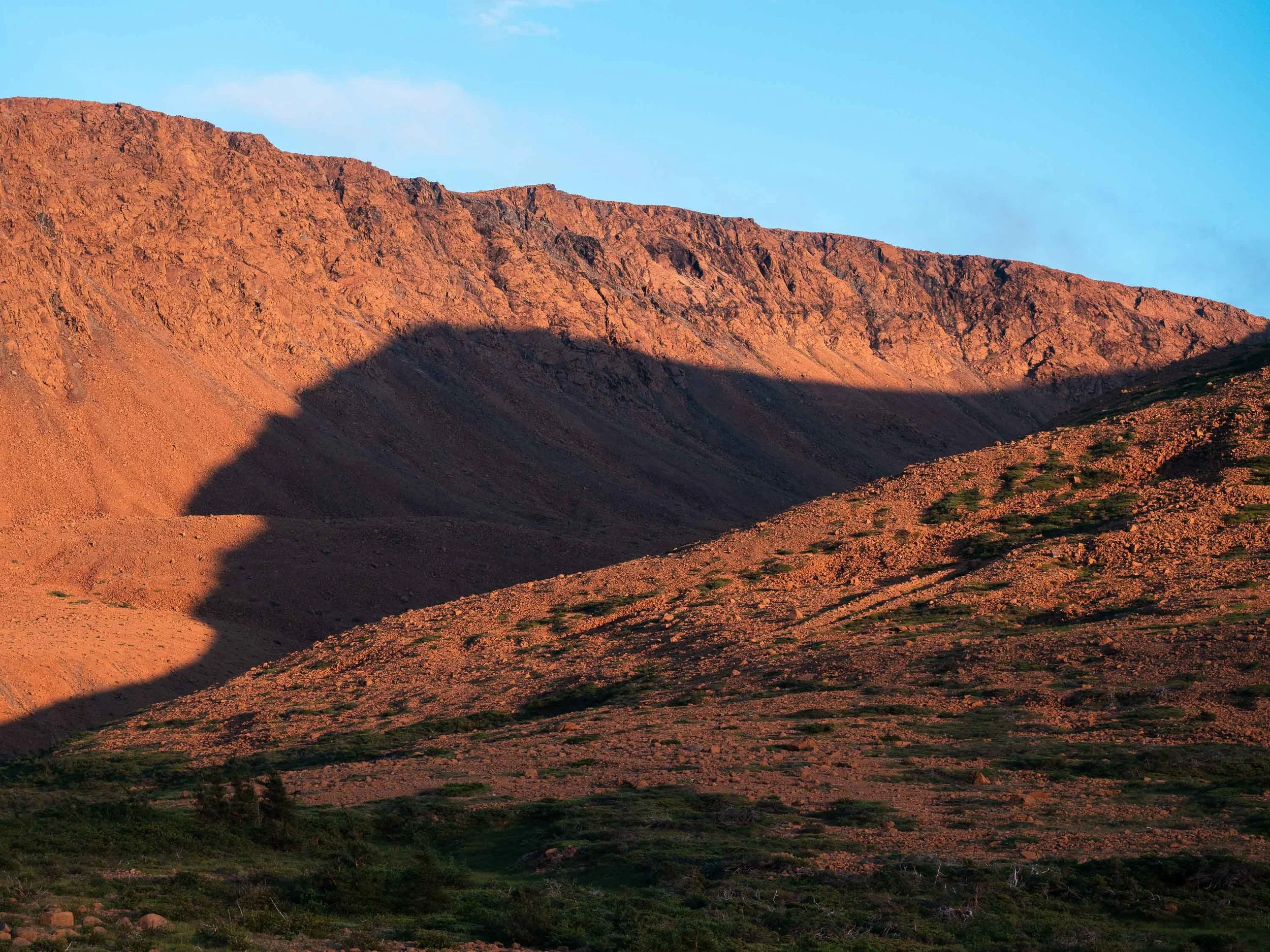
Perhaps the most striking visual feature of the ophiolites in Gros Morne National Park is how seemingly out of place they look compared to their surroundings. That is is because they are out of place, they formed at the bottom of an ocean and latter got positioned over a stable continental shelf and transported tectonically over hundreds of kilometers. That is part of the geological story and the reason that makes Gros Morne a special geological site. But what is an ophiolite you might ask? It is a section of Earth's oceanic crust and the underlying upper mantle, emplaced onto continental crust. Ophiolites are relatively rare because most oceanic crust is dense and eventually sinks back into the mantle at subduction zones in normal circumstances. Occasionally however a piece of oceanic crust will make its way on top of continental crust and is preserved in a process known as obduction.
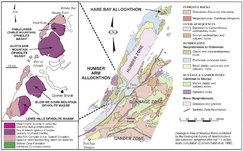
The Bay of Islands complex is composed of 4 massifs and is exposed on a distance of 85 km along the west coast of Newfoundland. It is the largest and best exposed ophiolite sequence in the Appalachian Orogen, and one of the most complete ophiolite sequences in the world. The map shows the generalized geology of the area with the other ophiolite massifs and related rocks. Map adapted from Kerr (2019), geology after Colman-Sadd et al. (1990), Williams and Cawood (1989), Cawood and Suhr (1992).
The Moho
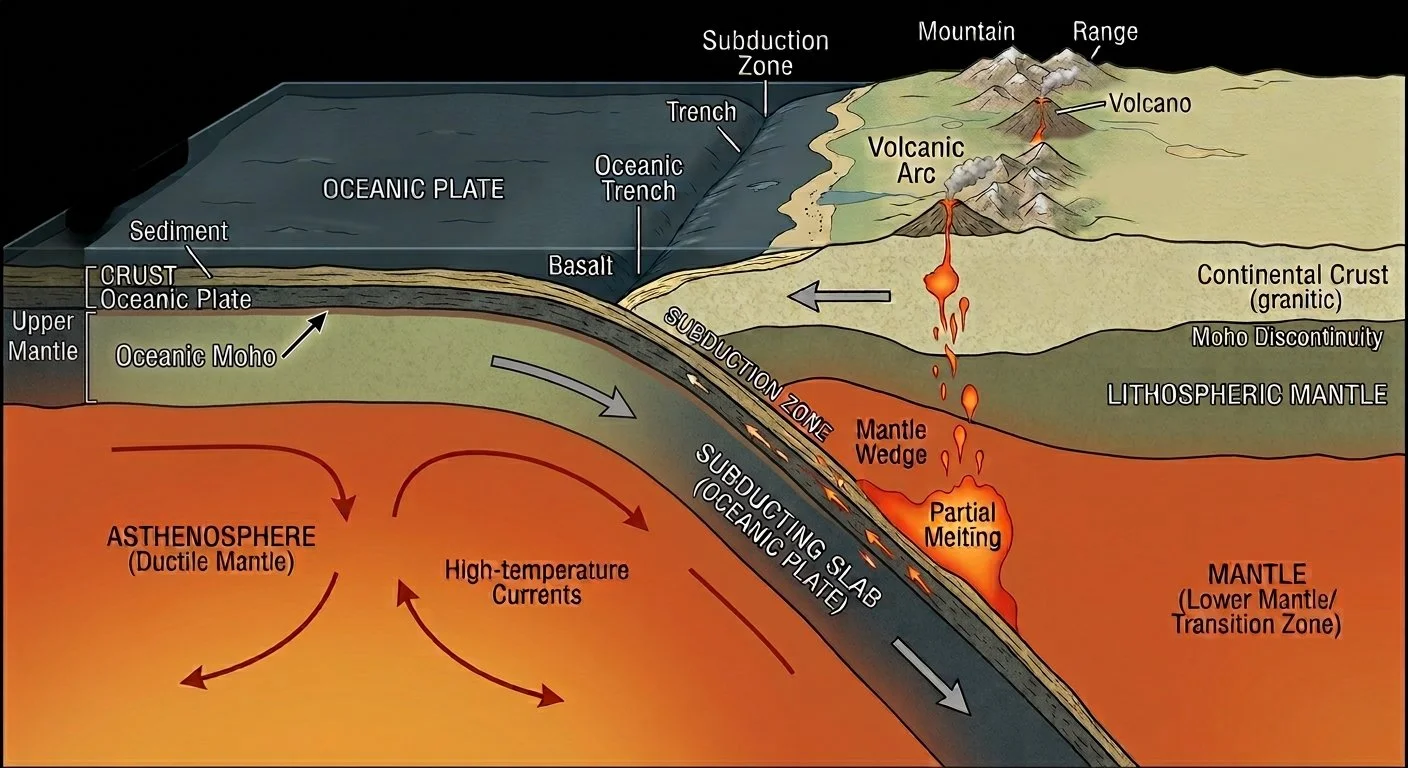
Cross section view of a model subduction zone with Moho discontinuity shown. The crust of the Earth is defined as the thin and rigid uppermost part which varies from approximately 35 to 90 km in thickness on continents (continental crust) and from 5 to 10 km in the ocean (oceanic crust). The mantle, which is directly under the crust, varies in thickness from approximately 2890 to 2900 km.
Gros Morne is also special because you can see and walk on the Moho. The Moho is the boundary between the crust and the mantle of the Earth, it is short for Mohorovicic discontinuity and was named after Croatian seismologist Andrija Mohorovicic who identified it in 1909. This boundary corresponds to a change in rock type but also in density, the latter of which is what permitted Mohorovičić to identify it as a boundary when he measured seismic waves produced during an earthquake. He noticed a dramatic change in wave velocity which he calculated to be at approximately 54 km in depth. This change in wave velocity is the same principle that causes light to bend when a ray of light crosses the boundary from air to water, or the boundary between two substances of different densities.
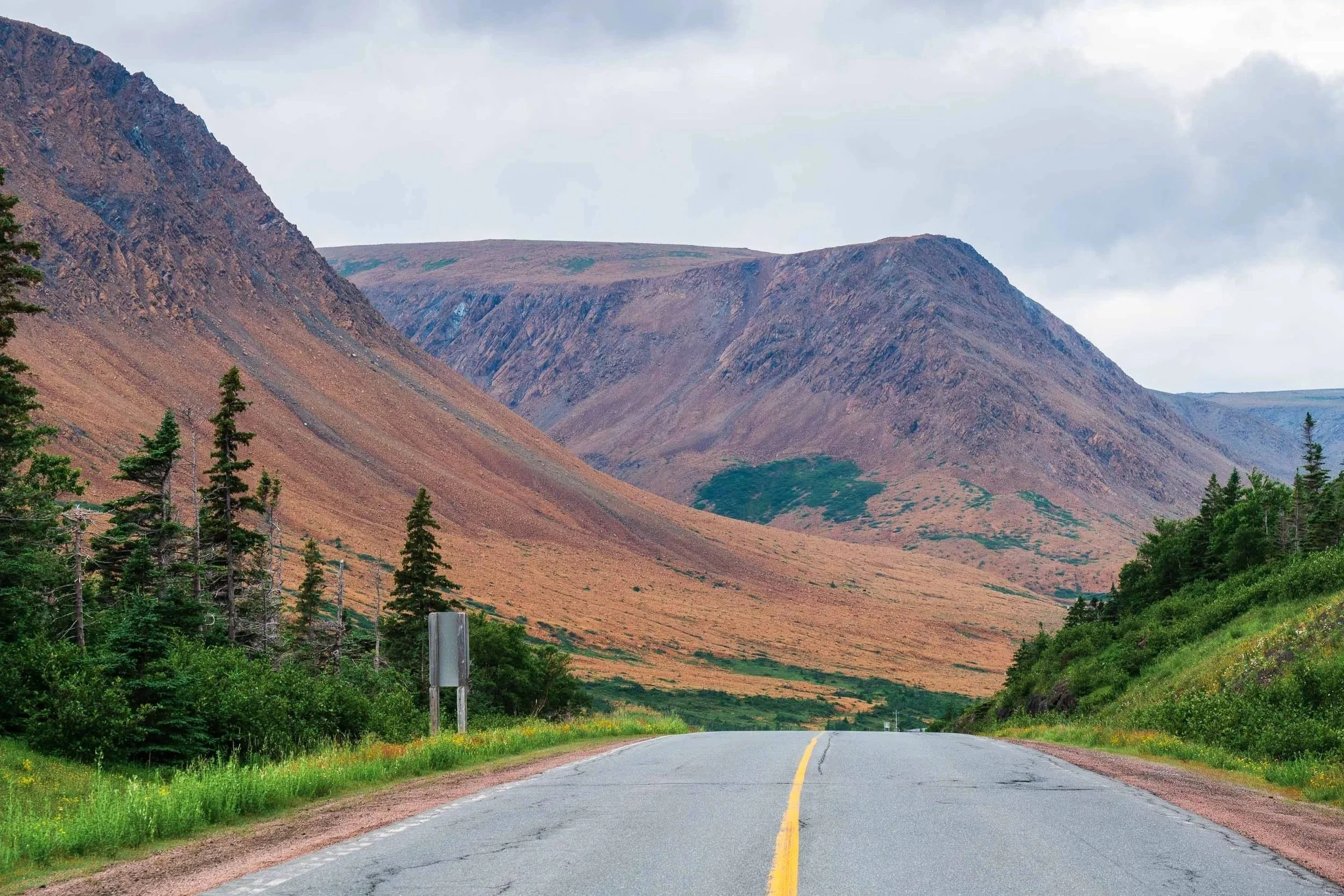
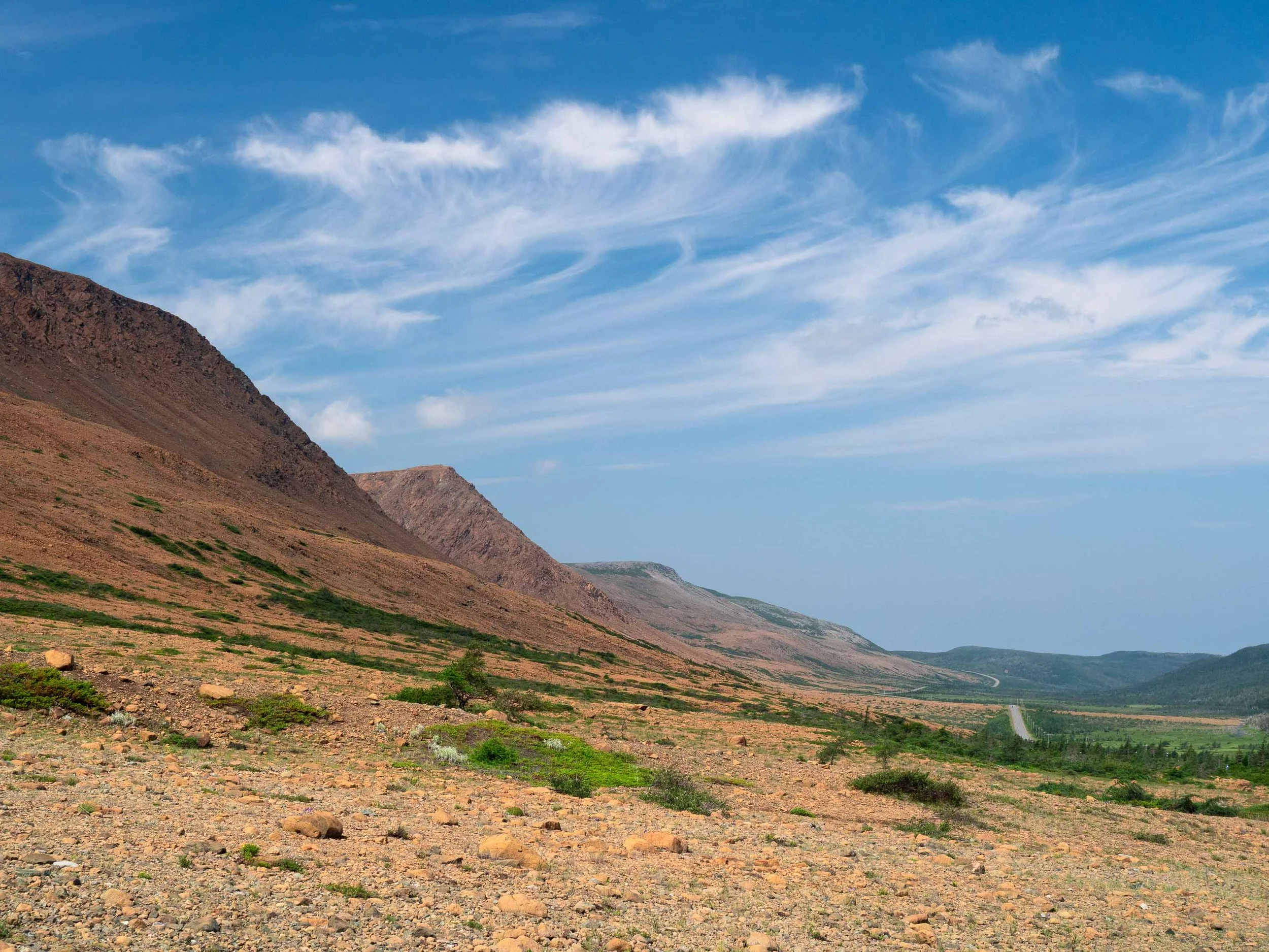
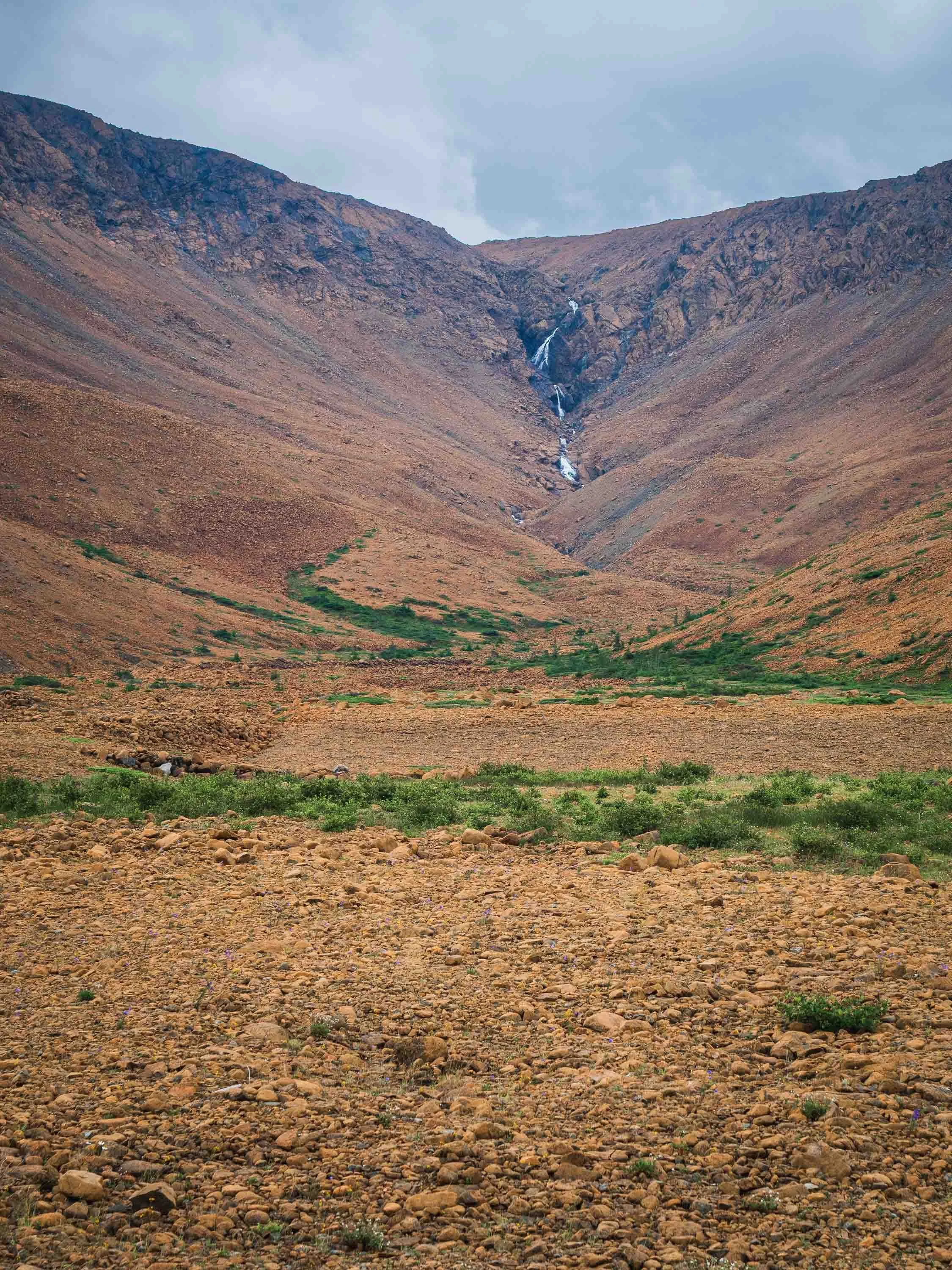
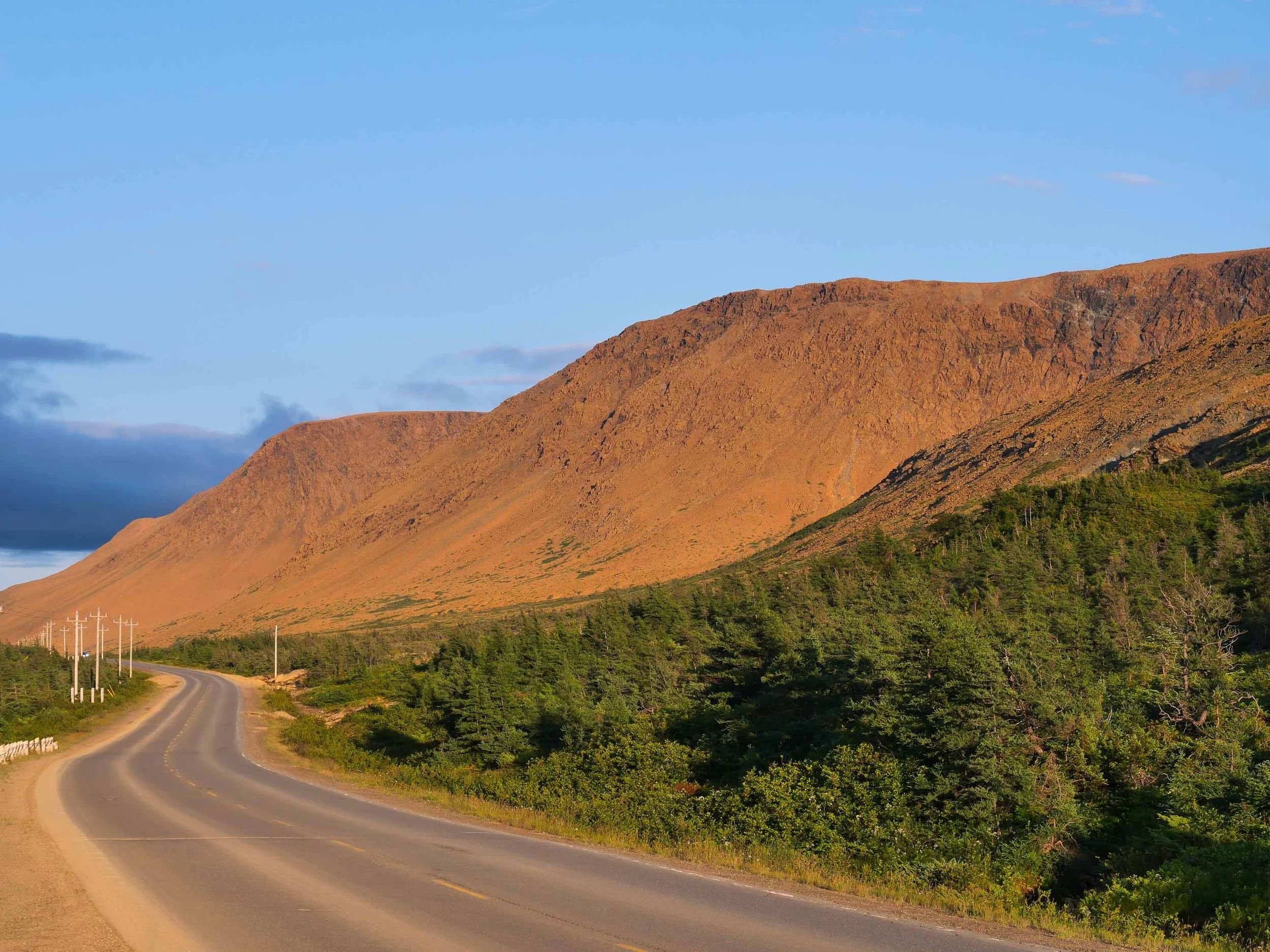
Because is it normally buried 5 to 70 km beneath the Earth’s surface, the Mohorovicic discontinuity is rarely exposed at the surface. In Gros Morne National Park however not only are the mantle and Mohorovičić discontinuity well exposed, one can enjoy a view of it from the comfort of their car. A road traverses part of the park where a difference in color between the less dense mafic rocks above (gabbro) and the more dense ultramafic ones of the mantle below (dunite/harzburgite). You can see the transition zone pictured below next to a waterfall which is located behind the community of Trout River. This corresponds to the petrological (rock) transition zone.
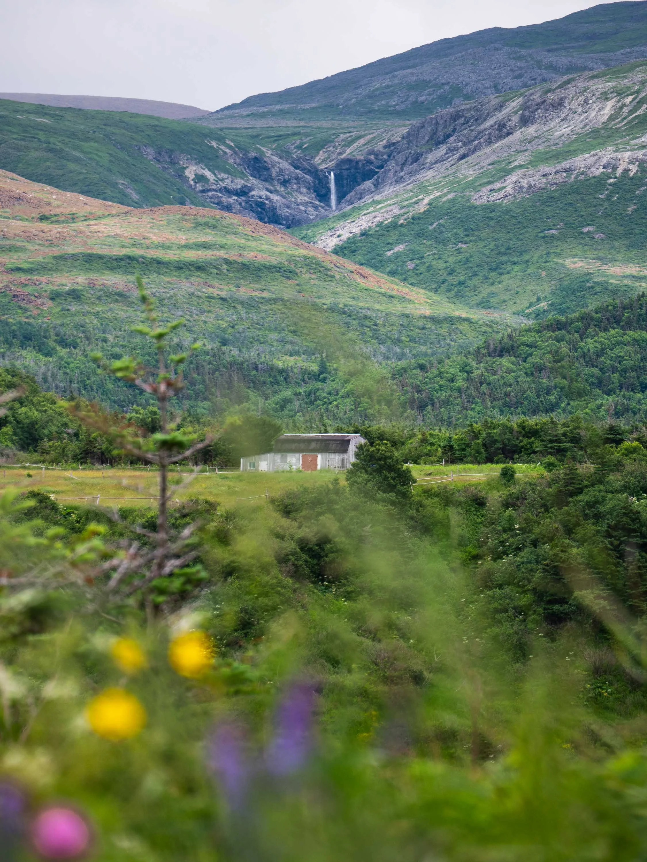
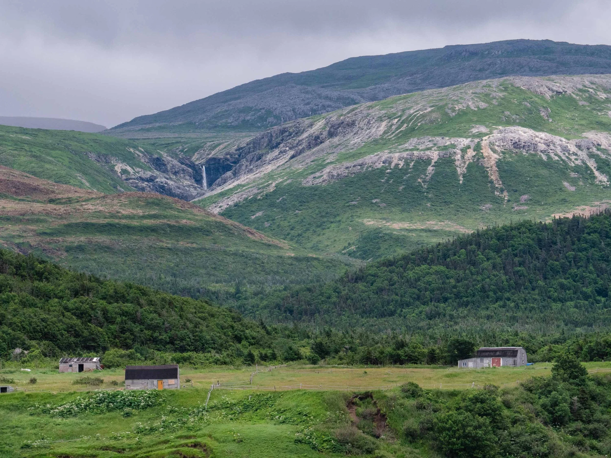
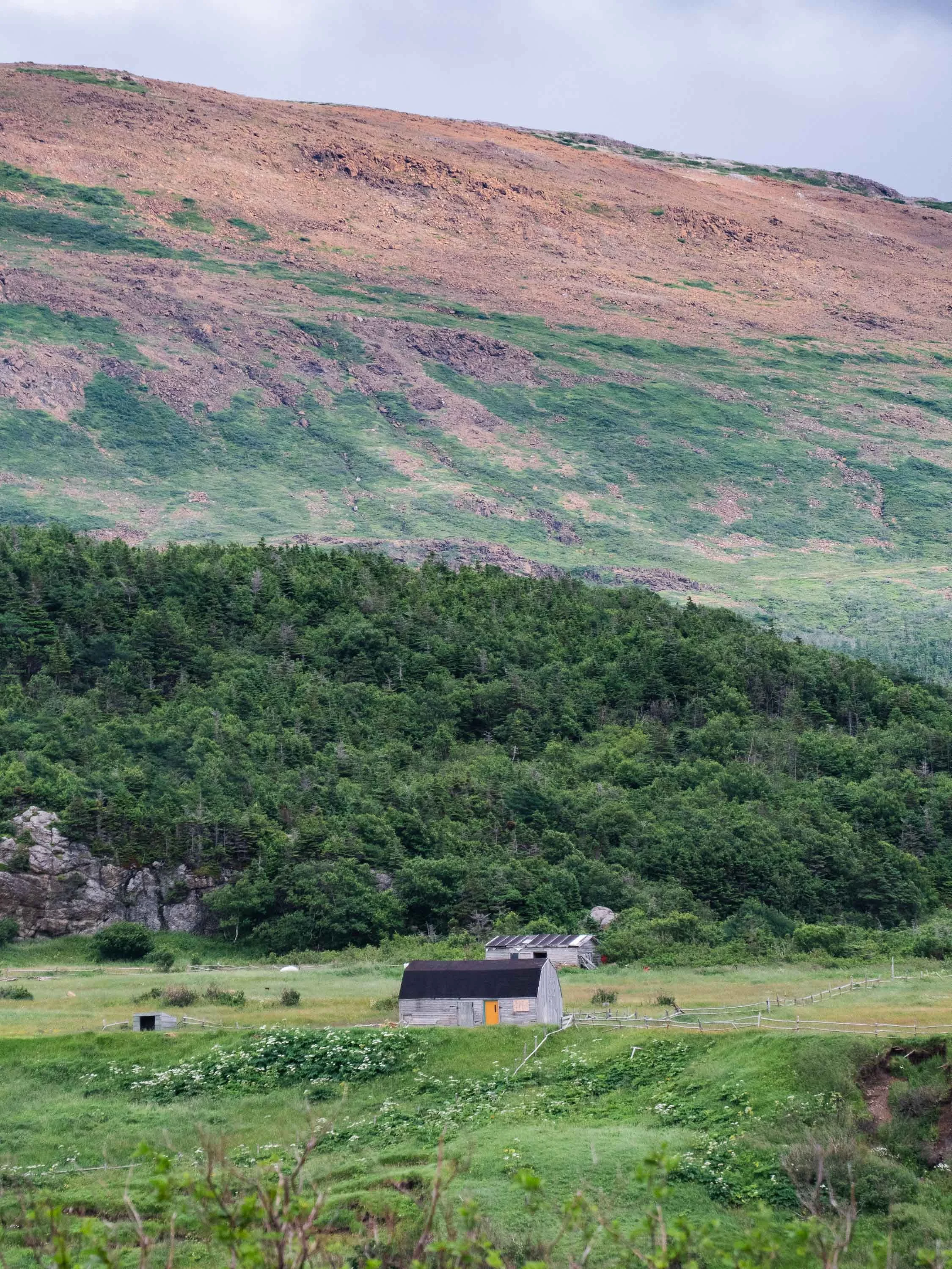
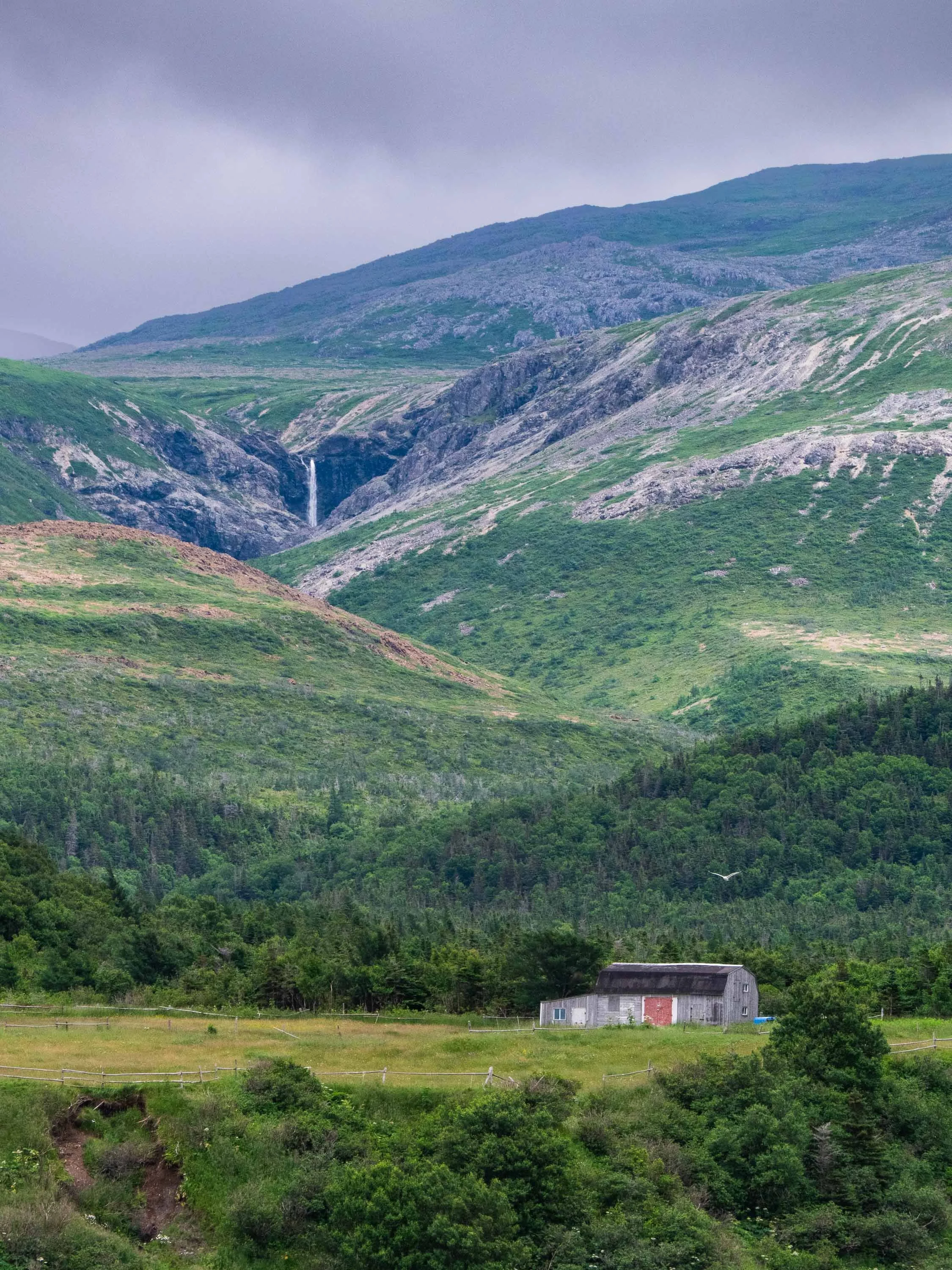
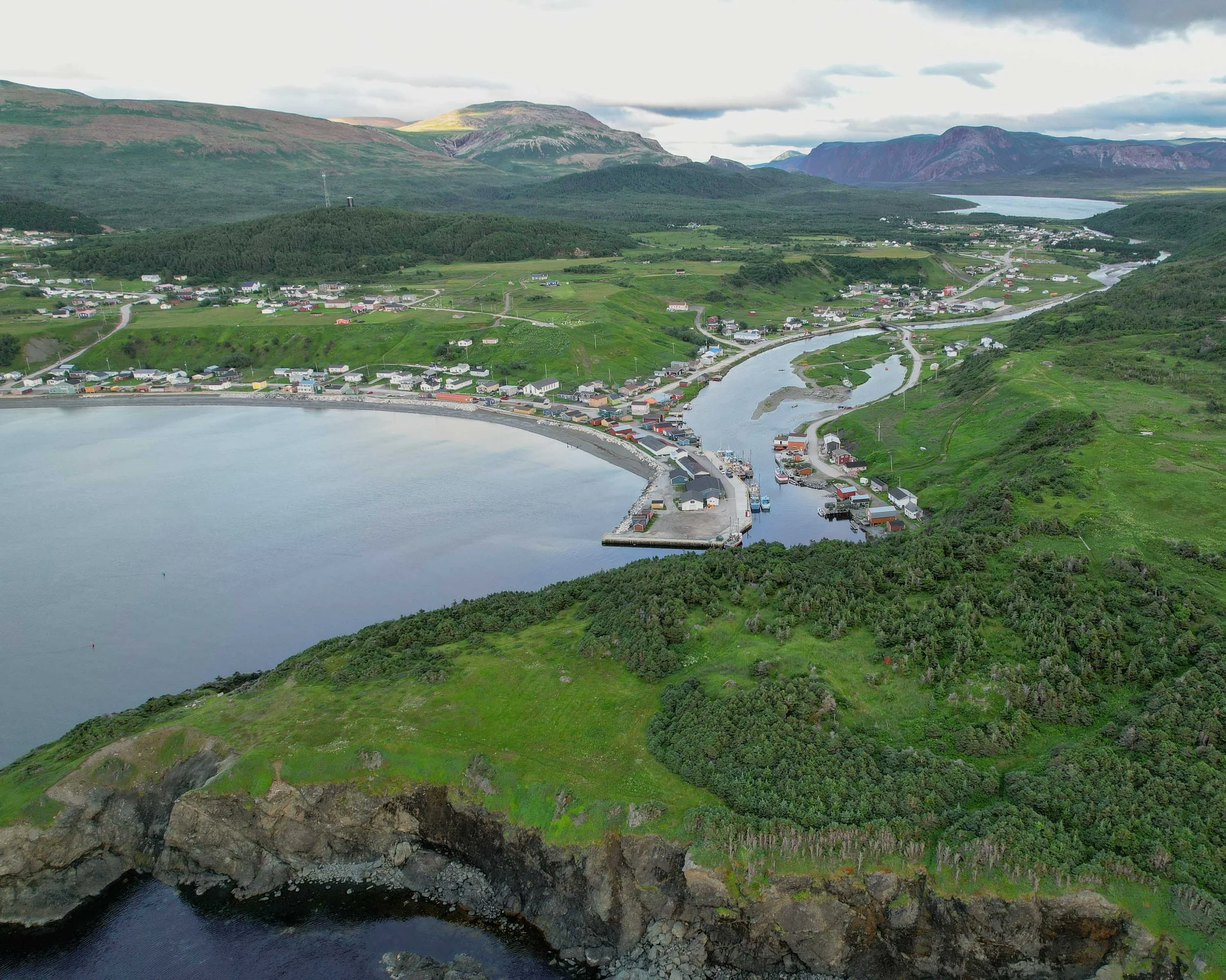
Caption: A change in rock color can be seen in the hills. The change indicates a transition from grey, mafic rocks on the right (gabbro), to orange ultramafic rocks on the left (dunite). Dunite which weathers orange, is dark colored when fresh.
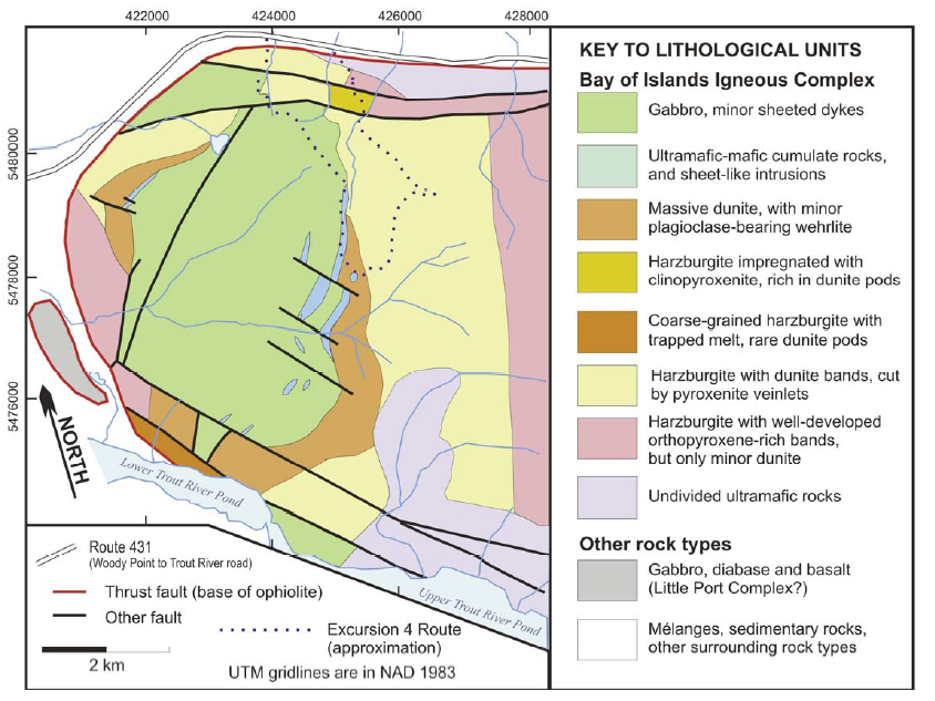
Generalized geology of the western part of the Tablelands Ophiolite adapted from Kerr (2019), geology adapted from larger map by Suhr (1991)
In reality things are a little more complex, as is explained by geologist Andrew Kerr in his excellent geological guide of the area: "the Moho is a complex zone, within which the geophysical Moho sits a few hundred metres above the petrological Moho, which is a more subtle boundary between cumulate rocks and melt-depleted rocks of the mantle", or in other words, early-formed solid crystals (cummulate rocks) and remaining liquid (melt-depleted rocks).
Based on observations of the crust of modern oceans, the rocks of the Gros Morne ophiolites are interpreted to have formed similarly to new crust formed at mid-oceanic ridges. These ones however are interpreted to have formed approximately 485 million years ago in an ocean that no longer exists named the Iapetus Ocean. Oceans open and close and the closure of the Iapetus Ocean culminated into the Taconic orogeny, at which time a piece of ophiolite would have been obducted and transported to its current location.
importance of the Ophiolites in gros morne in a global context
The Ophiolites in Gros Morne played a seminal role in the development of plate tectonic theory and the understanding of processes involved in building mountain belts. The existence of ophiolites and the fact they might be detached pieces of oceanic crust emplaced in a solid state was suggested first for the California Coast Ranges, and then for similar rocks in New Zealand (Kerr, 2019). The theory of plate tectonics was not widely accepted and the questions of where ophiolites came from and how they were emplaced were not fully understood. The Bay of Islands Igneous Complex in western Newfoundland was the first ophiolite complex to be examined and understood in the context of global plate tectonics theory. It was at that time that the theory became widely accepted, even if the concept of plate tectonics had already been discussed prior. J. Tuzo Wilson was the geologist/geophysisict made famous by introducing the concept of a prescursor ocean to the modern Atlantic in his 1966 paper "Did the Atlantic close and then reopen ?". The ophiolite complex at Gros Morne Park was inscribed on a list of world heritage sites by the International Commission on Geoheritage, and is described as “an exceptional illustration of seldom seen plate tectonic processes and of a glacially modified coastal landscape of deep fjords and tabletop highlands”.
REFERENCES:
Cawood, P.A., and Suhr, G., 1992, Generation and obduction of ophiolites: Constraints from the Bay of Islands Complex, western Newfoundland: Tectonics, v. 11, p. 884–897.
Colman-Sadd, S.P., Hayes, J.P., and Knight, I., 1990, Geology of the Island of Newfoundland, 1: 1 million scale: Newfoundland Department of Mines and Energy, Geological Survey, Map 90-01.
Kerr, A. (2019). Classic Rock Tours 2. Exploring a Famous Ophiolite: A Guide to the Bay of Islands Igneous Complex in Gros Morne National Park, Western Newfoundland, Canada. Geoscience Canada, 46(3), 101–136.
Suhr, G., 1991, Structural and magmatic history of upper mantle peridotites in the Bay of Islands Complex, Newfoundland: Unpublished Ph.D. Thesis, Memorial University, St. John's, NL, 512 p.
Williams H., and Cawood, P.A., 1989, Geology, Humber Arm Allochthon, Newfoundland: Geological Survey of Canada, “A” Series Map 1678A, scale 1:250,000